Vatnajökull

Iceland's landscape is dramatic and impressive. It's the very definition of Nirvana for a National Geographic photographer. Words really do not do it justice so this blog is more about photos. Forgive my limitations as an iphone photographer, but hopefully you can appreciate what the adventure was all about.
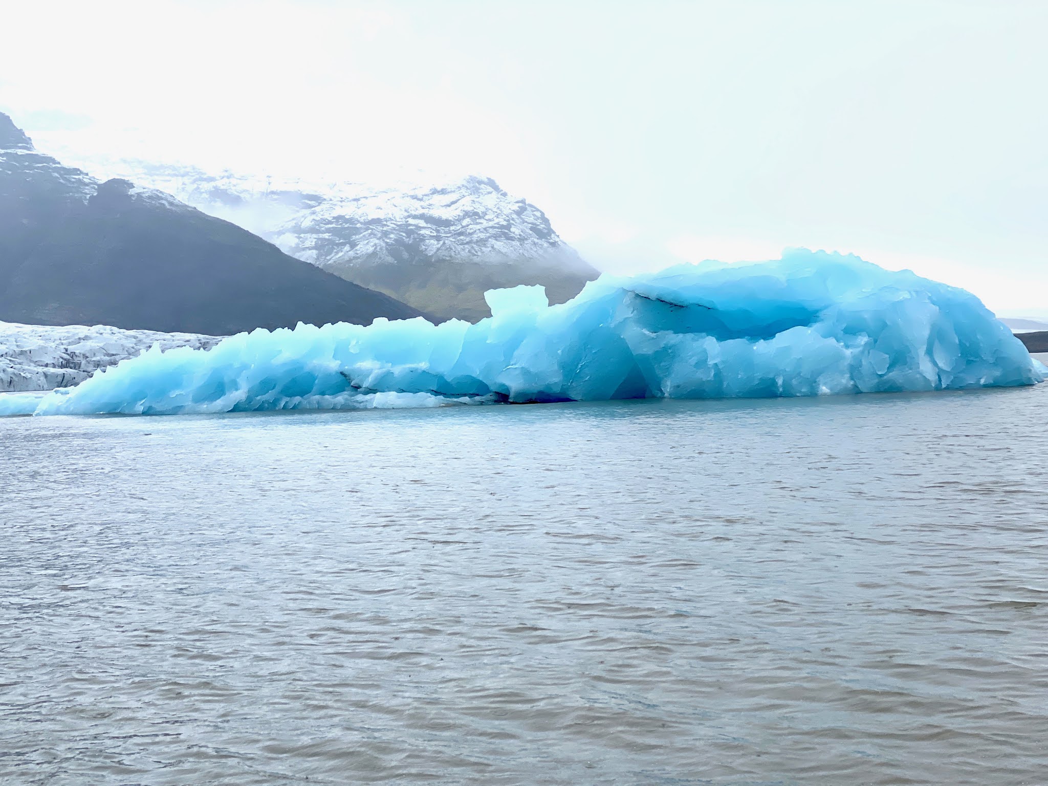
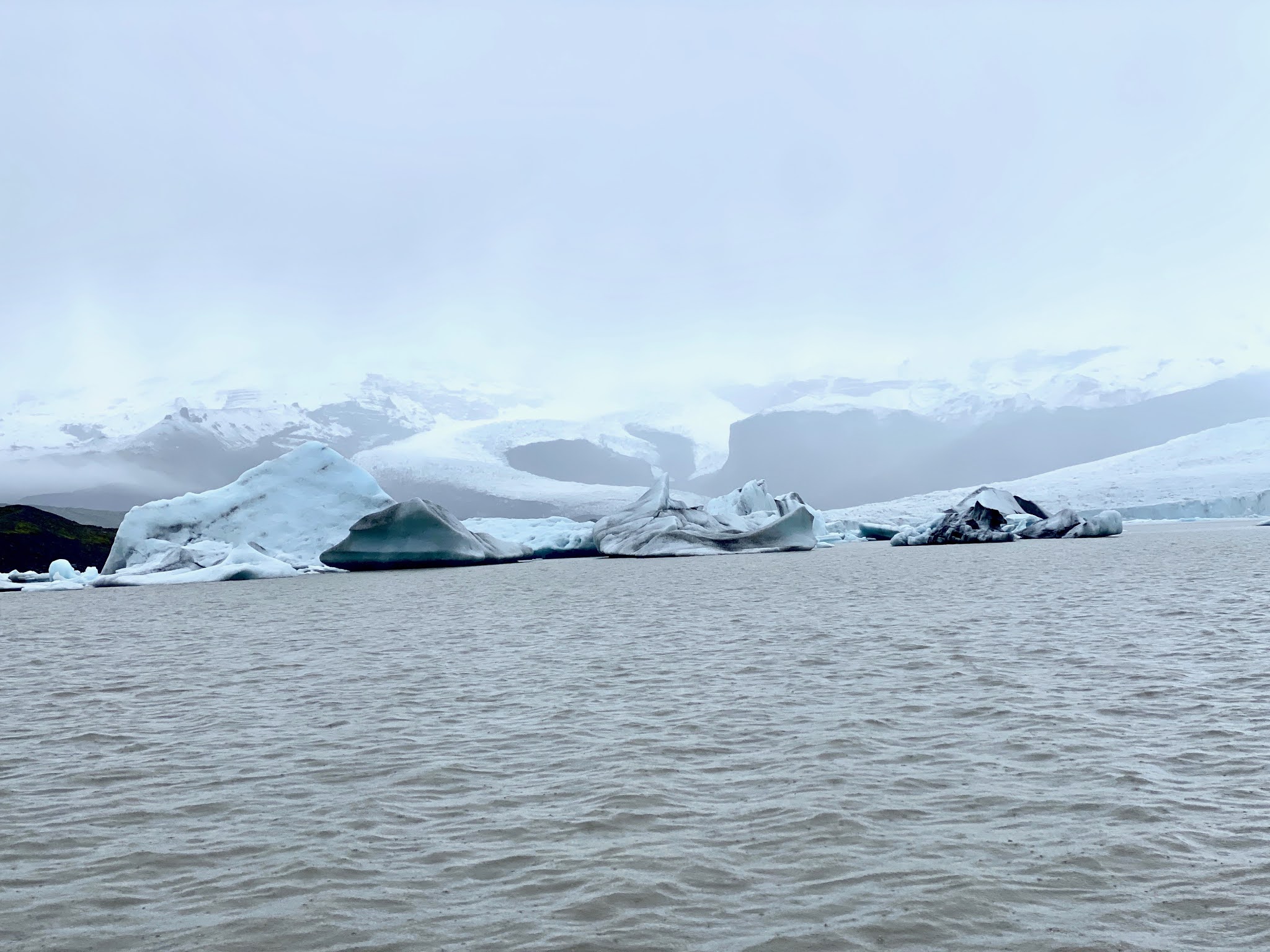
I am doing the trek with Backroads premier. We started off in a small plane that took us to Iceland's southeastern shore, We landed near Vatnajökull, Europe's largest ice cap. It's about 3200 square miles and up to 3000 feet deep in certain areas. The hike began at Vatnajökull National Park.


On the second day we went to Ingölfshöfdi peninsula. We walked across black sand beaches (volcanic ash stained) and saw birds like puffins and skuas (aggressive and quite big). After lunch more hiking Skaftafell National park.


Comments
Post a Comment